Seven landscapes, one impossible territory — from the capital at Leh to the nomad plateaux of Changthang.
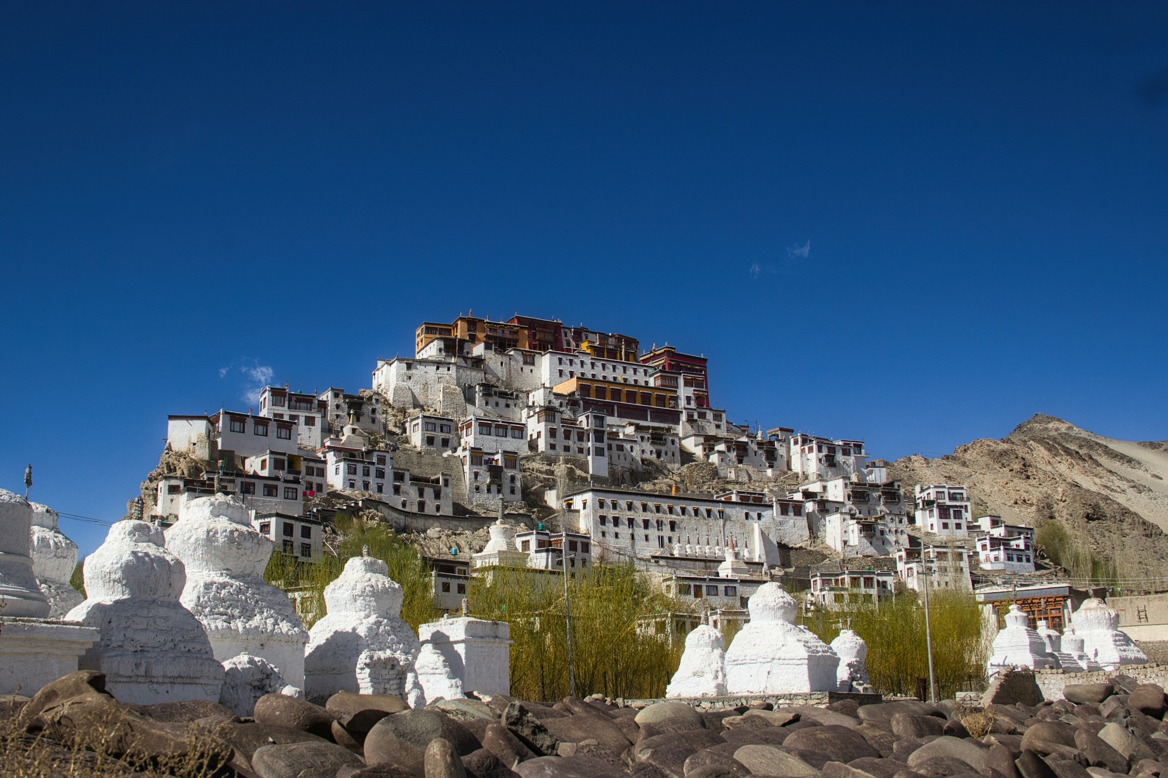
Leh was the capital of the Himalayan kingdom of Ladakh, now the largest district by area in the state. The town remains dominated by the ruined Leh Palace — former mansion of the royal family, built in the same style and around the same time as the Potala Palace in Lhasa — set at an altitude of 3,524 metres.
For centuries Leh was a vital stopover on the Indus Valley trade routes between Tibet, Kashmir, India and China, carrying salt, grain, pashm (cashmere wool), silk yarn and Banaras brocade. The kingdom was founded toward the end of the 10th century by the Tibetan prince Nyima Gon, whose descendants ordered the earliest sculptures at Shey.
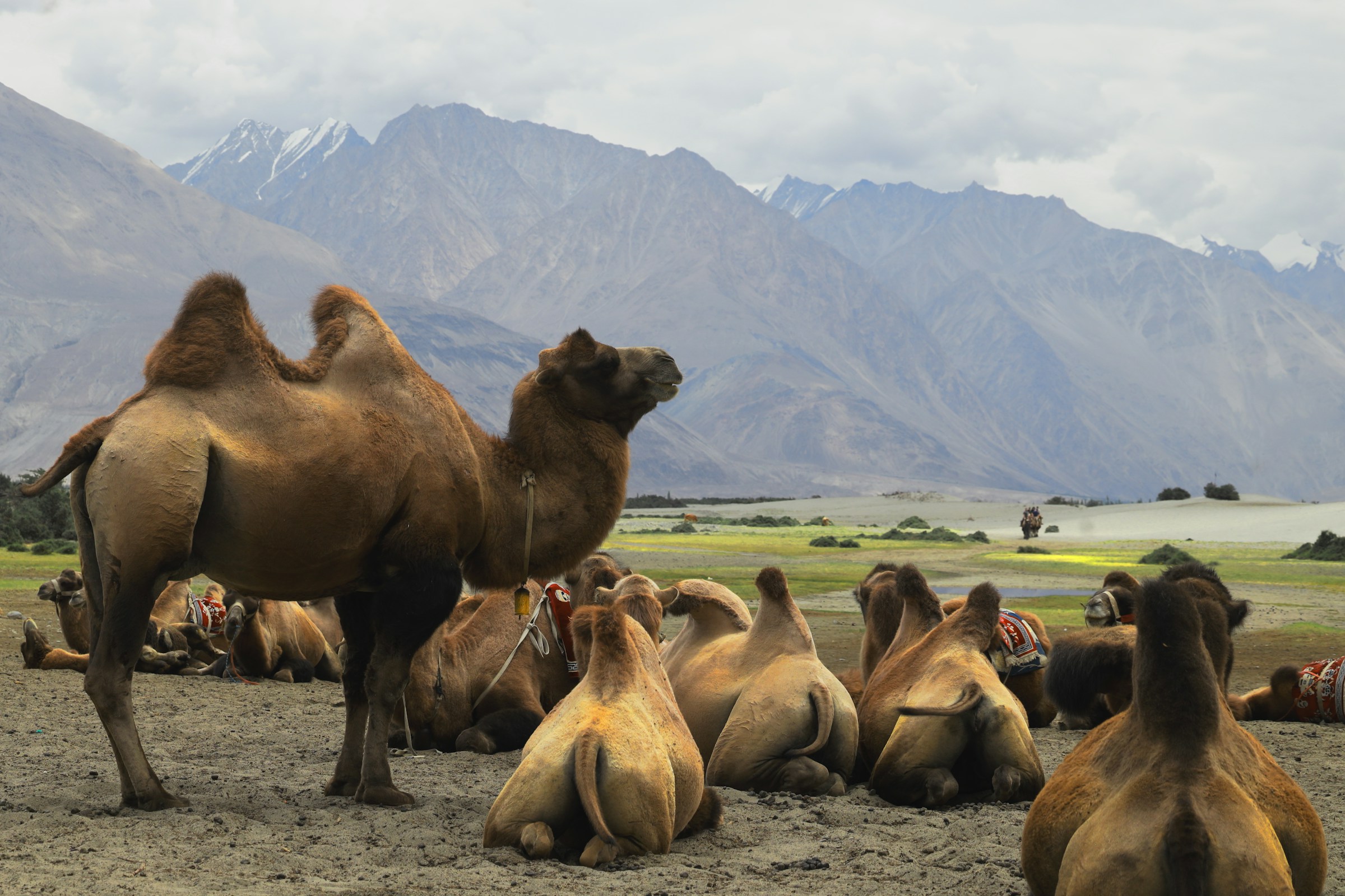
About 150 km north of Leh, Nubra's original name — Ldumra — meant “the valley of flowers.” Here the Shyok River meets the Nubra (Siachen) River to form a wide valley separating the Ladakh and Karakoram ranges, at an average altitude of 10,000 ft. Non-locals require an Inner Line Permit, easily obtained in Leh, and the valley is most commonly reached over the Khardung La.
A high-altitude desert like the rest of Ladakh, Nubra's irrigated villages nonetheless produce wheat, barley, peas, mustard and a striking range of fruit and nuts — apple, walnut, apricot, even a few almond trees. The valley is home mainly to Ladakhi-speaking Buddhists.
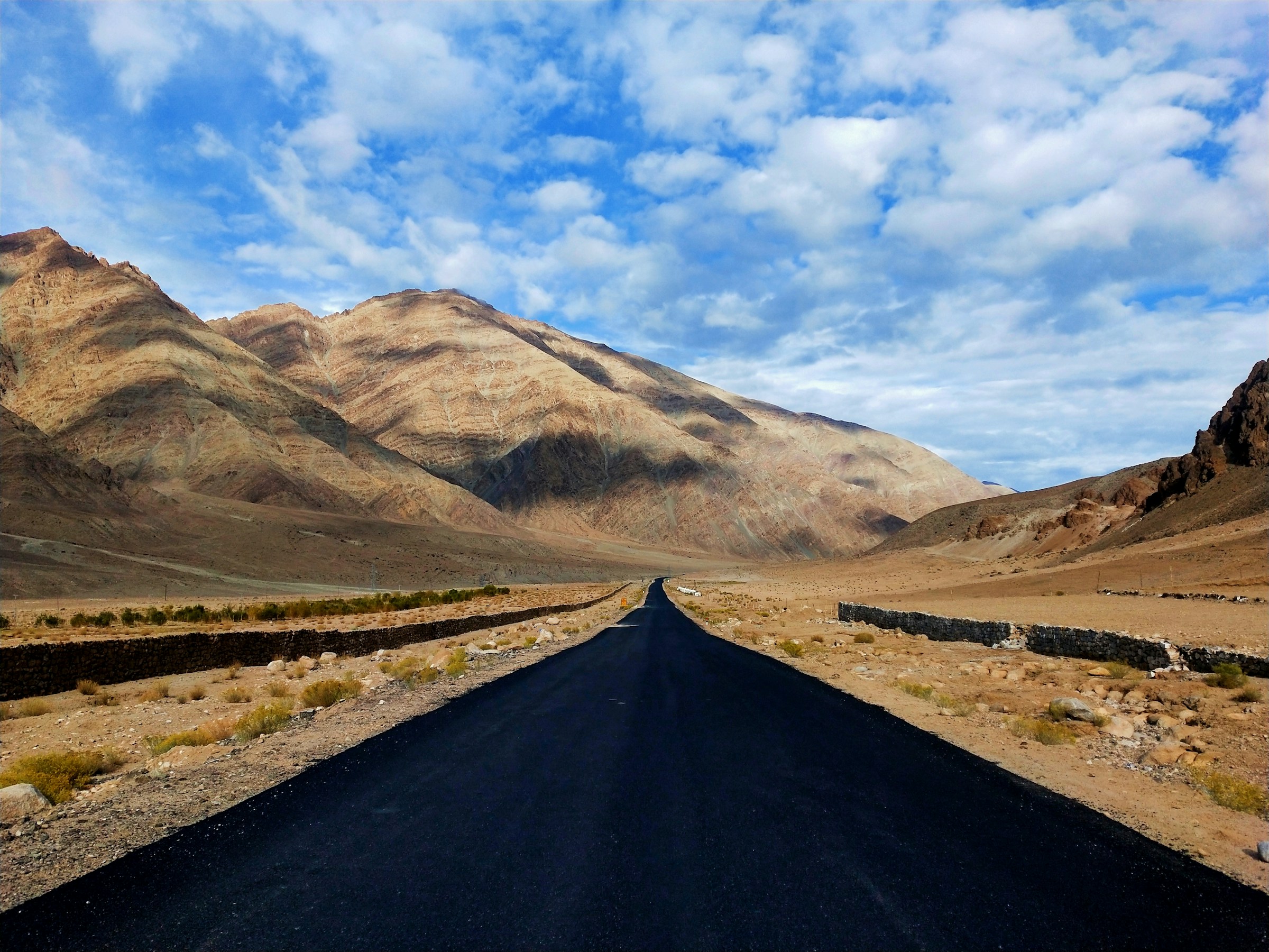
The most isolated of all the trans-Himalayan valleys, Zanskar lies beyond the Pazila watershed, its road winding past two small alpine lakes at Panzila Top (4,401 m) before descending toward the vast “Drang-Drung” glacier — perhaps the largest in Ladakh outside the Siachen formation.
Zanskar is a tri-armed valley system radiating west, north and south from a central expanse, home to some 10,000 people, mainly Buddhist, spread across 5,000 sq. km of high ridges and deep gorges. It remains inaccessible for nearly eight months of the year, closed by heavy snowfall — making it one of the least interfered-with microcosms of Ladakh.
Kargil, 204 km from Srinagar and 234 km from Leh, is the second largest urban centre of Ladakh and headquarters of its own district. It once served as a vital trade and transit hub in the Pan-Asian network, its old bazaars stocked with silk, brocade, carpets, felts, tea and ivory carried between China, Tibet, Yarkand and Kashmir.
Since 1975, travellers have replaced the traders of the past, and Kargil now serves as an important base for adventure activity in the heart of the Himalaya, and the take-off point for the Zanskar Valley. Two tributaries of the Suru River, the Drass and the Wakha, meet at the town itself.
Drass (3,230 m), 60 km west of Kargil on the road to Srinagar, sits at the base of the Zojila pass — the Himalayan gateway to Ladakh — and is famed as the second coldest inhabited place in the world, with winter temperatures known to fall below minus 40°C.
For centuries its inhabitants negotiated the formidable Zojila even in the most treacherous late-autumn and early-spring conditions, establishing a monopoly over the carrying trade during the heyday of Pan-Asian commerce. Drass is also a convenient base for the three-day trek across to Suru Valley, over the 4,500 m Umbala pass.
One of the most beautiful regions of Ladakh and the mainstay of Kargil district, the Suru Valley extends from Kargil town southward toward Panikhar, then eastward to the foot of the Penzila watershed. Its population of roughly 30,000, mainly of Tibeto-Dard descent, are Muslims who converted from Buddhism around the middle of the 16th century.
The upper reaches, around Sankoo and Panikhar, present majestic mountain ramparts crowned with snow-capped peaks, alpine slopes draining into wild mountain streams, and glaciers descending in riverine formation — all set beneath the crystalline majesty of Kun (7,035 m) and Nun (7,135 m).
Changthang — simply “Northern Plateau” in Tibetan — is a vast high-altitude plateau extending from South Eastern Ladakh deep into western and northern Tibet, home to giant lakes and the Changpa nomadic pastoralists. Summers are warm but short, with sudden hailstorms; winters are Arctic-like despite the latitude, owing to the extreme elevation.
The Changpa economy is built around livestock and the grazing they depend on — grasses that lie dormant for eight or nine months of the year. Unlike many nomadic peoples, the Changpa do not migrate between climatic zones, moving instead in shorter cycles across the plateau they have inhabited for generations.